Skip to content
HanglageRegional guide / Oberland

Spitzingsee · Tegernsee · Isarwinkel · Sudelfeld

Ski tours in
the Oberland.

Wooded slopes near Bad Tölz, pasture basins above Kreuth and open ground around Spitzingsee and Sudelfeld offer very different touring days. Some ascents spend a long time in woodland; others start well above the valley. At Spitzingsee, Rotwand-Reibn links several climbs and descents. Single summits, pasture approaches and routes beside ski areas add to the range.

A regional guide by Hanglage
Researched 3 November 2026 · Not a current conditions assessment

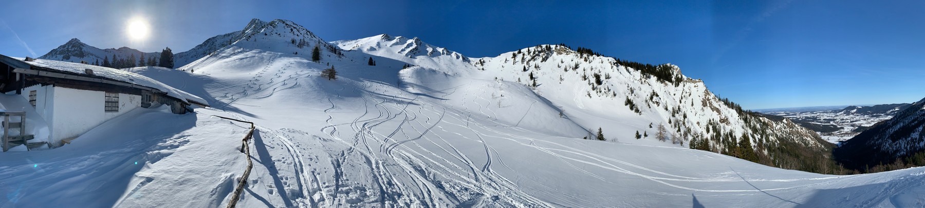
Snow-covered slopes, ski tracks and an alpine hut beneath a blue sky.
OBERLAND / ARCHIVE 2019-02-15 · Bernhard Hering
47° N / 11° EBavarian PrealpsMap · Elevation profile · GPXBefore you go ↗

Before you go

Avalanche bulletin for your touring area

Read the official original for affected elevations, aspects and validity. A missing bulletin does not mean low danger.

01 / Orientation

Explore the route map

Choose an area to zoom in. Select a route name for a closer look at its course.

HANG LAGE / OBERLAND

Loading the topographic map.

Route descriptions and GPX downloads are available below.
↑ NColours show grade along the route, not avalanche danger.

Map: our own topography using OpenStreetMap / Protomaps and Copernicus DEM. Routes: BayernCloud Tourismus (CC0), ÖAV / DAV / AVS (CC BY-ND 4.0), OpenStreetMap (ODbL). Sources & licences ↗

Terrain & approaches

How the areas differ

01 / SPITZINGSEE

Spitzingsee

Pastures, wooded slopes and rocky summits alternate around Rotwand and Taubenstein. The ascent to Taubenstein-Gipfelstüberl finishes below the rocky summit itself. Rotwand-Reibn links several climbs and descents. The Roßkopf route via Grünsee also starts with a change in terrain: it first drops to the Valepper pastures before climbing.

View 5 routes ↓Area sources: Source 1 · Source 2
02 / TEGERNSEE & KREUTH

Tegernsee & Kreuth

Open pastures sit among extensive wooded slopes above the Tegernsee valley. On Hirschberg, the ascent opens out above the forest roads near the Rauheckalmen. The Winterstube approach to Seekarkreuz first follows Schwarzenbachtal before reaching the Rauhalmen basin. Woodland approaches and open ground therefore shape the two outings differently well before the summit.

View 5 routes ↓Area sources: Source 1 · Source 2
03 / BAD TÖLZ & ISARWINKEL

Bad Tölz & Isarwinkel

Pasture meadows break up the wooded foothills near Bad Tölz. Farther south, Schönberg and Brauneck are approached from Fleck and Wegscheid; Demeljoch starts at Fall by Sylvensteinsee. Zwiesel from Waldherralm and Rechelkopf from Marienstein add outings farther north. The area stretches from wooded foothills towards the mountains on the Tyrolean border.

View 5 routes ↓Area sources: Source 1 · Source 2
04 / FISCHBACHAU & SUDELFELD

Fischbachau & Sudelfeld

Pistes, pastures and open mountainsides lie close together around Sudelfeld and Wendelstein. Meadows and strips of woodland lead towards the upper pastures on Breitenstein. Arzmoos, Rosengasse and Tatzelwurm open onto different mountain approaches. Even the Vogelsang piste outing leaves the piste for its final metres, so the nearby lifts describe only part of the day.

View 5 routes ↓Area sources: Source 1 · Source 2 · Source 3
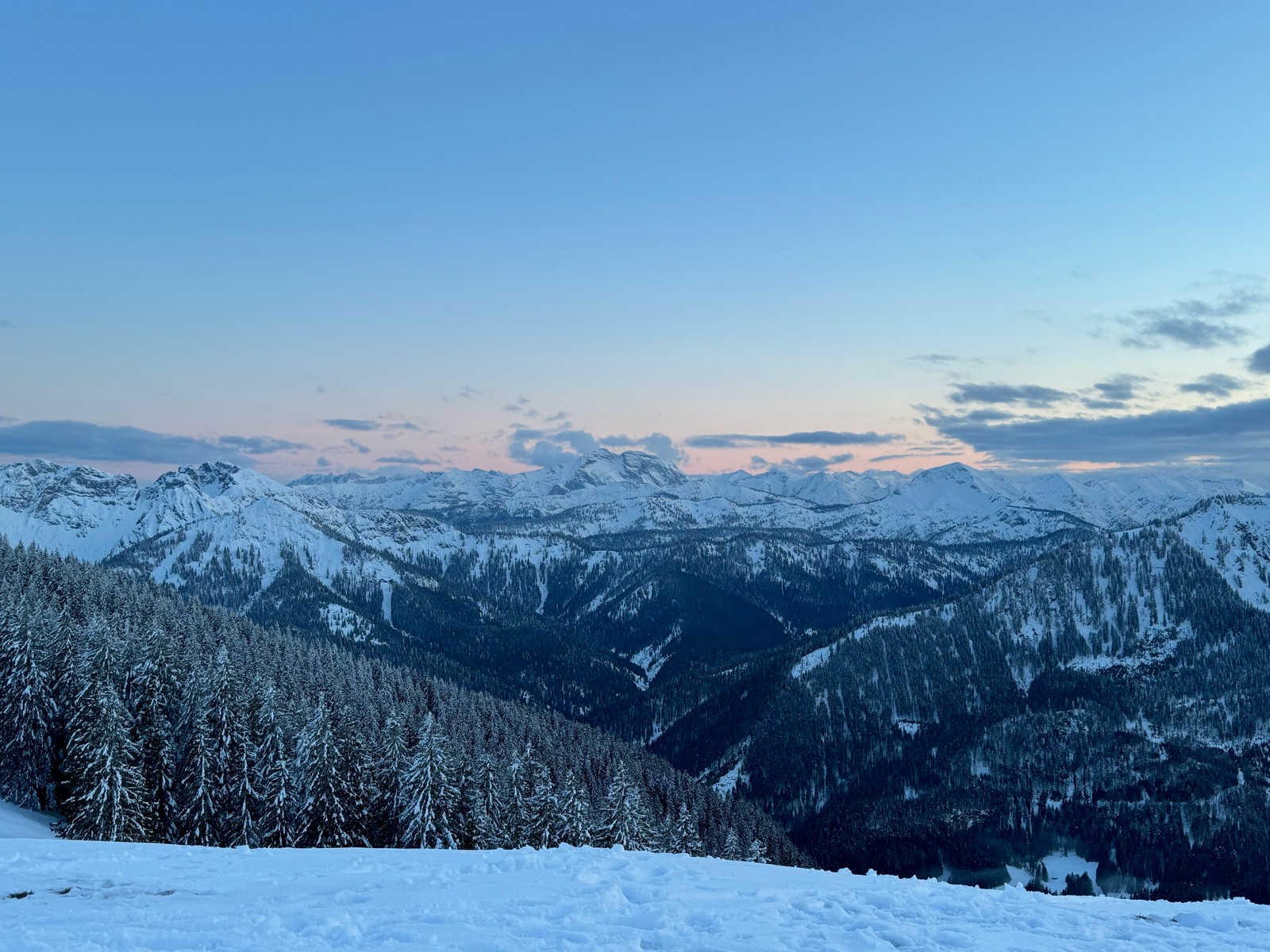
Snow-covered forests and mountain ranges beneath a pink-tinged horizon.
Snow-covered forests and mountain ranges beneath a pink-tinged horizon.© Bernhard Hering · Archive 2024-04-25
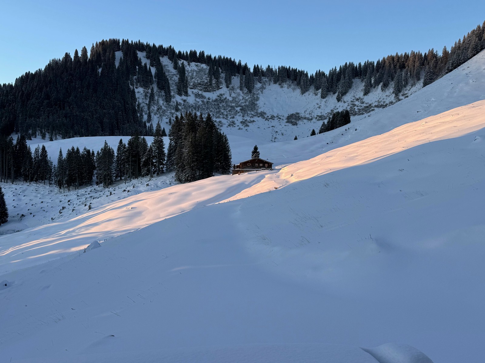
A hut between conifer forest and a snow-covered slope in warm light.
A hut between conifer forest and a snow-covered slope in warm light.© Bernhard Hering · Archive 2026-01-03
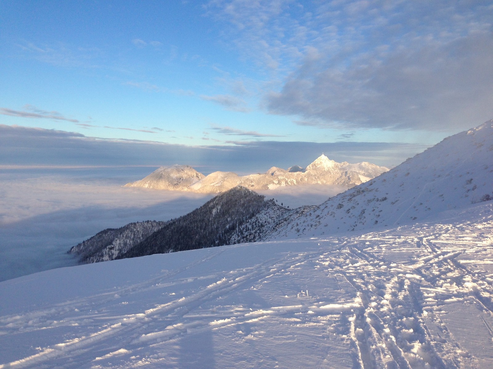
Sunlit, snow-covered mountains above a blanket of mist.
Sunlit, snow-covered mountains above a blanket of mist.© Bernhard Hering · Archive 2013-01-13
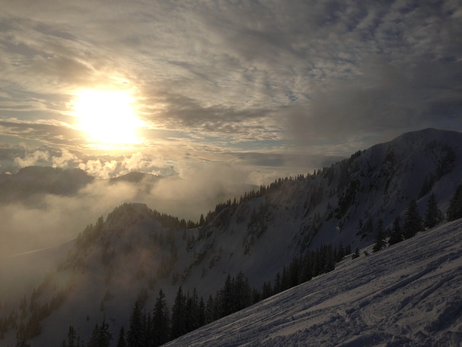
Warm sunlight above low clouds and snow-covered mountain slopes.
Warm sunlight above low clouds and snow-covered mountain slopes.© Bernhard Hering · Archive 2013-01-13

02 / Route portraits

20 routes by area

From valley approaches to circuits with reascents: compare the whole touring day, not just summit height.

5 routes

Spitzingsee

Area on the map ↑
01N ↑Route outline · no map scale

Spitzingsee

Rotwand-Reibn

Several climbs between Rotwand and Taubenstein

Rotwand-Reibn alternates climbs and descents around Rotwand and Taubenstein. Repeated transitions between skins and descents are part of the day. Steep slopes and traverses give the circuit its alpine character.

Mapped distance
14.8 km
Ascent from source
1,099 m
Time from source
4 h 03 min

Allow time for transitions and check current snow and avalanche conditions.

Route source & background

Die Rotwand Reibn
BayernCloud Tourismus · CC0 1.0 · CC0 1.0

DAV München & Oberland · Rotwandreibn · BayernCloud Tourismus · Originaltouren

02N ↑Route outline · no map scale

Spitzingsee

Jägerkamp

From Spitzingsee to Jägerkamp

The ascent leads from Spitzingsee towards Jägerkamp, northeast of the former Taubenstein ski area. In clear conditions, views extend towards Schliersee, the Rotwand massif and Inn valley. The slopes around Schönfeldhütte, Benzingspitz and Jägerkamp are also winter wildlife habitat.

Mapped distance
6.5 km
Ascent from source
647 m
Time from source
1 h 50 min

Stay on signed winter routes and follow local wildlife-area guidance.

Route source & background

Vom Spitzingsee auf den Jägerkamp
BayernCloud Tourismus · CC0 1.0 · CC0 1.0

Wikipedia · Jägerkamp · DAV · Natürlich auf Tour im Mangfallgebirge · BayernCloud Tourismus · Originaltouren

03N ↑Route outline · no map scale

Spitzingsee

Taubenstein-Gipfelstüberl

Along the former ski run towards the Gipfelstüberl

The former piste leads to Taubenstein-Gipfelstüberl below the rocky summit. Check hut opening and local evening-touring rules before setting off.

Mapped distance
5.2 km
Ascent from source
511 m
Time from source
1 h 31 min
Route source & background

Zum Taubenstein - Gipfelstüberl entlang der ehemaligen Skipiste
BayernCloud Tourismus · CC0 1.0 · CC0 1.0

Wikipedia · Taubenstein · BayernCloud Tourismus · Originaltouren

04N ↑Route outline · no map scale

Spitzingsee

Roßkopf über den Grünsee

From Stümpflingbahn parking

A descent to the Valepper pastures is followed by the climb via Grünseeabfahrt towards Roßkopf. The return passes Grünsee. The day therefore begins downhill before the climbing starts.

Mapped distance
6.0 km
Ascent from source
615 m
Time from source
1 h 43 min

Check current ascent rules, ski-area operations and grooming.

Route source & background

Über den Grünsee auf den Roßkopf
BayernCloud Tourismus · CC0 1.0 · CC0 1.0

BayernCloud Tourismus · Originaltouren

05N ↑Route outline · no map scale

Spitzingsee

Bodenschneid ab Kurvenlift

Original variant via the south ridge

This approach climbs from Spitzingsee’s Kurvenlift along the south ridge to Bodenschneid. Follow the direction guidance attached to the original route.

Mapped distance
4.0 km
Ascent, estimated
≈ 557 m
Time from source
—

The source includes direction guidance. Do not reverse the course without checking it.

Route source & background

Bodenschneid · Spitzingsee-Kurvenlift
© ÖAV, DAV, AVS – Ski Touring Routes for Austria, Germany and South Tyrol, CC BY-ND 4.0 · CC BY-ND 4.0

ÖAV / DAV / AVS · Originalnetz

5 routes

Tegernsee & Kreuth

Area on the map ↑
06N ↑Route outline · no map scale

Tegernsee & Kreuth

Hirschberg

From Scharling to Hirschberg

From Scharling, the approach passes the lower ski area and follows forest roads to Rauheckalmen, with open slopes and ridge terrain above.

Mapped distance
4.2 km
Ascent, estimated
≈ 908 m
Time from source
—
Route source & background

Hirschberg · Scharling
© ÖAV, DAV, AVS – Ski Touring Routes for Austria, Germany and South Tyrol, CC BY-ND 4.0 · CC BY-ND 4.0

Wikipedia · Hirschberg (Kreuth) · Tegernsee · Skitouren und Wildschutz · ÖAV / DAV / AVS · Originalnetz

07N ↑Route outline · no map scale

Tegernsee & Kreuth

Seekarkreuz

From Winterstube to Seekarkreuz

From Winterstube, the approach passes Schwarzentenn through Schwarzenbachtal and woodland to Rauhalmen. The Lenggries ascent starts on the other side of the mountain.

Mapped distance
8.0 km
Ascent, estimated
≈ 793 m
Time from source
—
Route source & background

Seekarkreuz · Winterstube
© ÖAV, DAV, AVS – Ski Touring Routes for Austria, Germany and South Tyrol, CC BY-ND 4.0 · CC BY-ND 4.0

Wikipedia · Seekarkreuz · Tegernsee · Skitouren und Wildschutz · ÖAV / DAV / AVS · Originalnetz

08N ↑Route outline · no map scale

Tegernsee & Kreuth

Fockenstein ab Sonnenbichl

Approach from the Tegernsee side

Start at Sonnenbichl near Bad Wiessee. Observe the designated wildlife-rest areas around Fockenstein.

Mapped distance
6.4 km
Ascent, estimated
≈ 791 m
Time from source
—
Route source & background

Fockenstein · Sonnenbichl
© ÖAV, DAV, AVS – Ski Touring Routes for Austria, Germany and South Tyrol, CC BY-ND 4.0 · CC BY-ND 4.0

ÖAV / DAV / AVS · Originalnetz

09N ↑Route outline · no map scale

Tegernsee & Kreuth

Schildenstein ab Klamm

Includes a source-marked foot section

The ascent leads from Klamm to Schildenstein. An identified section on foot needs to be considered when planning and choosing equipment.

Mapped distance
5.9 km
Ascent, estimated
≈ 796 m
Time from source
—

Account for the original route’s marked foot section when planning and choosing equipment.

Route source & background

Schildenstein · Klamm
© ÖAV, DAV, AVS – Ski Touring Routes for Austria, Germany and South Tyrol, CC BY-ND 4.0 · CC BY-ND 4.0

ÖAV / DAV / AVS · Originalnetz

10N ↑Route outline · no map scale

Tegernsee & Kreuth

Setzberg ab Winterstube

Original start at Kisten-Winterstube

This winter approach climbs from Kisten-Winterstube to Setzberg. Sections requiring particular caution are identified along the route and need attention alongside distance and ascent.

Mapped distance
4.5 km
Ascent, estimated
≈ 753 m
Time from source
—

Read the original route’s extra-caution guidance in full before setting out.

Route source & background

Setzberg · Kisten-Winterstube
© ÖAV, DAV, AVS – Ski Touring Routes for Austria, Germany and South Tyrol, CC BY-ND 4.0 · CC BY-ND 4.0

ÖAV / DAV / AVS · Originalnetz

5 routes

Bad Tölz & Isarwinkel

Area on the map ↑
11N ↑Route outline · no map scale

Bad Tölz & Isarwinkel

Schönberg

From Fleck to Schönberg

The ascent from Fleck on the Isar side reaches Schönberg in the Tegernsee mountains. It approaches from a different side to the routes from the Kreuth valley.

Mapped distance
5.9 km
Ascent, estimated
≈ 938 m
Time from source
—

Follow the original route’s direction guidance. The reverse direction is not automatically suitable.

Route source & background

Schönberg · Fleck
© ÖAV, DAV, AVS – Ski Touring Routes for Austria, Germany and South Tyrol, CC BY-ND 4.0 · CC BY-ND 4.0

Wikipedia · Schönberg (Bayerische Voralpen) · ÖAV / DAV / AVS · Originalnetz

12N ↑Route outline · no map scale

Bad Tölz & Isarwinkel

Brauneck

From Wegscheid to Brauneck

The route starts in Wegscheid at Brauneck near Lenggries. In the ski area, preparation also means checking operating status, closures and grooming. Read the Brauneck operator’s current information before setting out.

Mapped distance
4.6 km
Ascent, estimated
≈ 843 m
Time from source
—

A mapped route does not establish permission at every operating time or time of day.

Route source & background

Brauneck · Wegscheid
© ÖAV, DAV, AVS – Ski Touring Routes for Austria, Germany and South Tyrol, CC BY-ND 4.0 · CC BY-ND 4.0

Wikipedia · Brauneck · DAV · Skitouren auf Pisten · Brauneck-Bergbahn · Pistenstatus · ÖAV / DAV / AVS · Originalnetz

14N ↑Route outline · no map scale

Bad Tölz & Isarwinkel

Zwieselberg ab Waldherralm

Original start at Bad Tölz Waldherralm

The approach starts at Waldherralm near Bad Tölz. Wooded slopes and alpine meadows shape this northern Prealpine edge.

Mapped distance
4.9 km
Ascent, estimated
≈ 638 m
Time from source
—
Route source & background

Zwieselberg · Bad Tölz Waldherralm
© ÖAV, DAV, AVS – Ski Touring Routes for Austria, Germany and South Tyrol, CC BY-ND 4.0 · CC BY-ND 4.0

ÖAV / DAV / AVS · Originalnetz

15N ↑Route outline · no map scale

Bad Tölz & Isarwinkel

Demeljoch ab Fall

From the Sylvensteinsee area towards Demeljoch

The tour starts in Fall by Sylvensteinsee and reaches the Tyrolean border. Read the Bavarian bulletin and the report for Karwendel East.

Mapped distance
13.0 km
Ascent, estimated
≈ 1,266 m
Time from source
—
Route source & background

Demeljoch · Fall
© ÖAV, DAV, AVS – Ski Touring Routes for Austria, Germany and South Tyrol, CC BY-ND 4.0 · CC BY-ND 4.0

ÖAV / DAV / AVS · Originalnetz

5 routes

Fischbachau & Sudelfeld

Area on the map ↑
16N ↑Route outline · no map scale

Fischbachau & Sudelfeld

Wildalpjoch

From Arzmoos to Wildalpjoch

This route leads from Arzmoos to Wildalpjoch near Wendelstein, north of Sudelfeld. The original route note points to DAV signs leading east around the “Wildalpjoch Süd” wildlife area.

Mapped distance
2.9 km
Ascent, estimated
≈ 708 m
Time from source
—

Follow the signed route around the wildlife area on site.

Route source & background

Arzmoos - Wildalpjoch
© OpenStreetMap contributors · ODbL 1.0

Wikipedia · Wildalpjoch · OpenStreetMap · geprüfte Relation 13535552

17N ↑Route outline · no map scale

Fischbachau & Sudelfeld

Breitenstein ab Fischbachau

Approach by Winkelstüberl

Woodland, clearings and a summit slope shape the ascent from Fischbachau. The original description warns of obstacles when snow cover is thin.

Mapped distance
5.9 km
Ascent from source
795 m
Time from source
3 h 00 min

Follow the original notes on snow cover and the specified ascent and descent routes.

Route source & background

Auf den Breitenstein von Fischbachau
BayernCloud Tourismus · CC0 1.0 · CC0 1.0

BayernCloud Tourismus · Originaltouren

18N ↑Route outline · no map scale

Fischbachau & Sudelfeld

Großer Traithen ab Rosengasse

From Rosengasse parking

The route climbs from Rosengasse to Großer Traithen. The original description identifies low avalanche danger as a prerequisite for this demanding ascent. Use the current official bulletin and assess conditions on the day.

Mapped distance
7.2 km
Ascent from source
780 m
Time from source
2 h 05 min

The original description specifies low avalanche danger as a prerequisite. Assess the current official bulletin and on-site conditions separately.

Route source & background

Großer Traithen von der Rosengasse
BayernCloud Tourismus · CC0 1.0 · CC0 1.0

BayernCloud Tourismus · Originaltouren

20N ↑Route outline · no map scale

Fischbachau & Sudelfeld

Vogelsang ab Grafenherberg

Piste outing with an off-piste section

The ascent leads from Grafenherberg car park through Sudelfeld towards Vogelsang. The final metres leave the piste for open terrain.

Mapped distance
5.0 km
Ascent from source
469 m
Time from source
2 h 00 min

Check current operating hours, ascent rules and grooming; account separately for the off-piste section.

Route source & background

Von Grafenherberg auf den Vogelsang (Pistenskitour im Skiparadies Sudelfeld)
BayernCloud Tourismus · CC0 1.0 · CC0 1.0

BayernCloud Tourismus · Originaltouren

03 / Side by side

Compare distance and ascent

Distance covers the mapped course; additional descents and return journeys may be missing. ≈ marks ascent estimated from the elevation model. — means no time was supplied. Available difficulty information is shown with each route, without converting different scales into a single rating.

Route & starting pointDistanceAscentTime from source
01 Rotwand-ReibnSeveral climbs between Rotwand and Taubenstein14.8 km1,099 mSource4 h 03 min
02 JägerkampFrom Spitzingsee to Jägerkamp6.5 km647 mSource1 h 50 min
03 Taubenstein-GipfelstüberlAlong the former ski run towards the Gipfelstüberl5.2 km511 mSource1 h 31 min
04 Roßkopf über den GrünseeFrom Stümpflingbahn parking6.0 km615 mSource1 h 43 min
05 Bodenschneid ab KurvenliftOriginal variant via the south ridge4.0 km≈ 557 mElevation model—
06 HirschbergFrom Scharling to Hirschberg4.2 km≈ 908 mElevation model—
07 SeekarkreuzFrom Winterstube to Seekarkreuz8.0 km≈ 793 mElevation model—
08 Fockenstein ab SonnenbichlApproach from the Tegernsee side6.4 km≈ 791 mElevation model—
09 Schildenstein ab KlammIncludes a source-marked foot section5.9 km≈ 796 mElevation model—
10 Setzberg ab WinterstubeOriginal start at Kisten-Winterstube4.5 km≈ 753 mElevation model—
11 SchönbergFrom Fleck to Schönberg5.9 km≈ 938 mElevation model—
12 BrauneckFrom Wegscheid to Brauneck4.6 km≈ 843 mElevation model—
13 Rechelkopf ab MariensteinFrom Marienstein to Rechelkopf5.5 km≈ 569 mElevation model—
14 Zwieselberg ab WaldherralmOriginal start at Bad Tölz Waldherralm4.9 km≈ 638 mElevation model—
15 Demeljoch ab FallFrom the Sylvensteinsee area towards Demeljoch13.0 km≈ 1,266 mElevation model—
16 WildalpjochFrom Arzmoos to Wildalpjoch2.9 km≈ 708 mElevation model—
17 Breitenstein ab FischbachauApproach by Winkelstüberl5.9 km795 mSource3 h 00 min
18 Großer Traithen ab RosengasseFrom Rosengasse parking7.2 km780 mSource2 h 05 min
19 Brünnsteinschanze ab TatzelwurmFrom Tatzelwurm3.8 km≈ 739 mElevation model—
20 Vogelsang ab GrafenherbergPiste outing with an off-piste section5.0 km469 mSource2 h 00 min

04 / Before you go

What to check
before setting out

01

Weather and avalanche conditions

Read the official avalanche bulletin and check weather and snow conditions. Pay attention to validity, elevation and aspect. A missing report does not mean low danger.

Find the official bulletins ↗
02

Wildlife areas and local rules

Follow signed winter routes and local rules. A protected-area notice is not automatically an access ban. Equally, a missing marking on the map does not establish permission.

DAV · Nature-friendly touring ↗
03

Travel and the return journey

Plan travel and the return journey in advance, including the last bus or train. Check timetables, parking rules and operating hours directly with the relevant operators.

MVV · Find current connections ↗
This overview is for orientation, not navigation or a declaration of safety. Independent mountain planning, equipment and on-site assessment remain essential.

HANG LAGE

Route maps and recording
on your phone and watch.

Download your map and route before setting off. In Hanglage, you can use them without a connection and record your outing.

See app features ↗
Research, data & image rights ↗

Editorial research: 3 November 2026. Selection, context and text by Hanglage; not a statistical ranking. Context based on Wikipedia is an original adaptation of the linked articles and is licensed under CC BY-SA 4.0. Data, maps, brands and the photograph retain their separate licences.

Photographs: © Bernhard Hering · Private archive · 2019-02-15. Used with permission for this guide; web copy resized and cropped by the layout, metadata removed. Not current conditions.

  • oberland-ski-winterwald.jpg · © Bernhard Hering · Private archive · 2024-04-25. Used with permission for this guide; web copy resized and cropped by the layout, metadata removed. Not current conditions.
  • oberland-ski-huette.jpg · © Bernhard Hering · Private archive · 2026-01-03. Used with permission for this guide; web copy resized and cropped by the layout, metadata removed. Not current conditions.
  • oberland-ski-nebelberge.jpg · © Bernhard Hering · Private archive · 2013-01-13. Used with permission for this guide; web copy resized and cropped by the layout, metadata removed. Not current conditions.
  • oberland-ski-goldlicht.jpg · © Bernhard Hering · Private archive · 2013-01-13. Used with permission for this guide; web copy resized and cropped by the layout, metadata removed. Not current conditions.
  1. DAV · Natürlich auf Tour im MangfallgebirgeRecherche zur Region und zu naturverträglichen Routen; keine DAV-Karten oder Fotos übernommen.
  2. DAV München & Oberland · RotwandreibnBeleg für die redaktionelle Auswahl als bekannter Klassiker; keine Wegbeschreibung kopiert.
  3. Tegernsee · Skitouren und WildschutzRecherche zur Auswahl und zu örtlichen Informationsstellen; Tourzahlen stammen nicht von dieser Seite.
  4. Wikipedia · Mangfallgebirge / Schlierseer Berge · Schlierseer Berge · Authors / historyGeografische Einordnung, eigenständig gekürzt und in DE/EN zusammengefasst; Wikipedia-Autorinnen und -Autoren, CC BY-SA 4.0.
  5. Wikipedia · Jägerkamp · Authors / historyGeografischer Hintergrund; Wikipedia-Autorinnen und -Autoren, CC BY-SA 4.0.
  6. Wikipedia · Taubenstein · Authors / historyGeografischer Hintergrund, keine Übernahme einer Gehzeit; Wikipedia-Autorinnen und -Autoren, CC BY-SA 4.0.
  7. Wikipedia · Hirschberg (Kreuth) · Authors / historyGeografischer Hintergrund; Wikipedia-Autorinnen und -Autoren, CC BY-SA 4.0.
  8. Wikipedia · Seekarkreuz · Authors / historyGeografischer Hintergrund; Wikipedia-Autorinnen und -Autoren, CC BY-SA 4.0.
  9. Wikipedia · Schönberg (Bayerische Voralpen) · Authors / historyGeografischer Hintergrund; Wikipedia-Autorinnen und -Autoren, CC BY-SA 4.0.
  10. Wikipedia · Brauneck · Authors / historyGeografischer Hintergrund; Wikipedia-Autorinnen und -Autoren, CC BY-SA 4.0.
  11. Wikipedia · Wildalpjoch · Authors / historyGeografischer Hintergrund; Wikipedia-Autorinnen und -Autoren, CC BY-SA 4.0.
  12. DAV · Skitouren auf PistenVerweis für aktuelle Regeln und Planung, keine pauschale Freigabe einzelner Pisten.
  13. Brauneck-Bergbahn · PistenstatusExterner aktueller Betriebsstatus, nicht in die statische Übersicht übernommen.
  14. BayernCloud Tourismus · OriginaltourenDrei bereits im gemeinsamen Katalog freigegebene Originaltouren, CC0 1.0. Exakte ID, Lizenz und Quellenlink bei jeder Tour.
  15. ÖAV / DAV / AVS · OriginalnetzBereits veröffentlichte, getrennte Datenquelle unter CC BY-ND 4.0; keine Linienänderung oder Zusammenführung mit der ODbL-Datenbank.
  16. OpenStreetMap · geprüfte Relation 13535552Bestehende geprüfte Originalrelation und unveränderte Richtungshinweise; © OpenStreetMap contributors, ODbL 1.0.

Full data sources & safety notes ↗