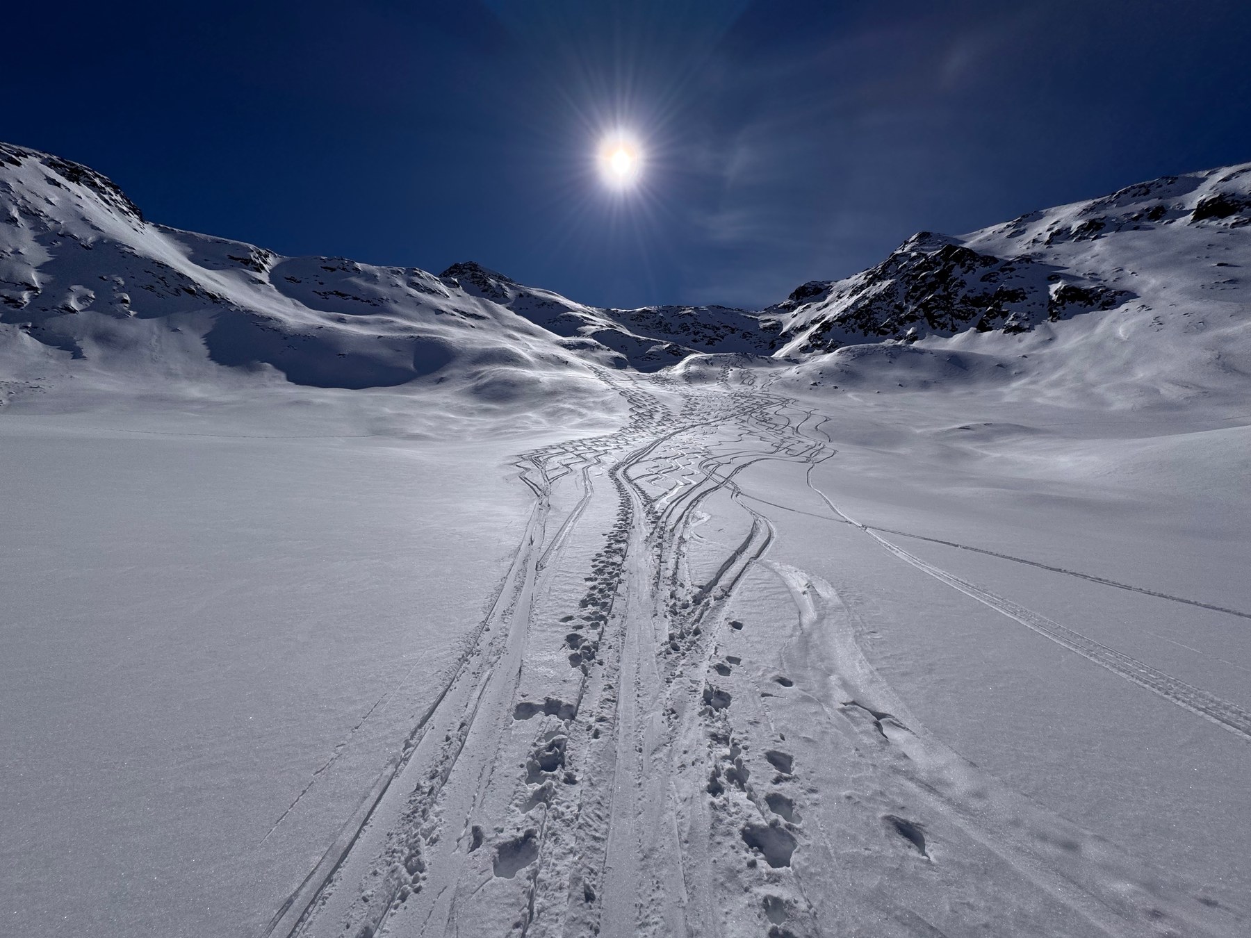
Ski touring 14 routes
Vallelunga
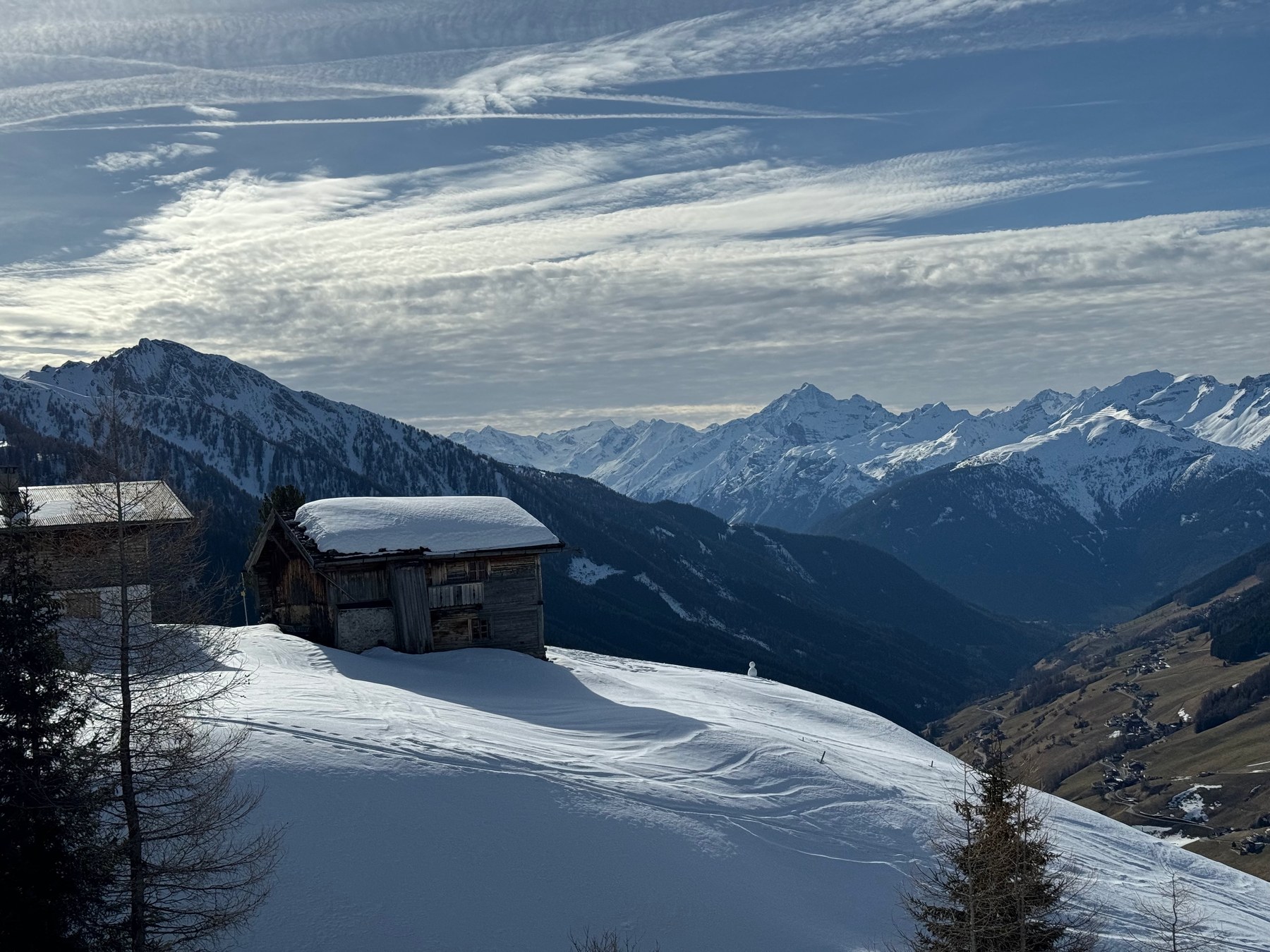
From Melag, Kappl and Kapron to stepped slopes and cirques, with separate hut and glacier objectives at the valley head.
 HanglageRegional guides
Small valleys · Selected routes
Ski tours around Melag, Navis, Obernberg and St. Sigmund give you a choice of outings for several days. Some follow long wooded approaches, while others cross broad alpine pastures or climb into high summit terrain. The guides introduce the routes and their starting points, with maps, elevation profiles and GPX tracks for planning. You’ll also find hikes and mountain trails in the Bavarian Oberland.
6 guides 05 ski touring / 01 hiking & trailrunning
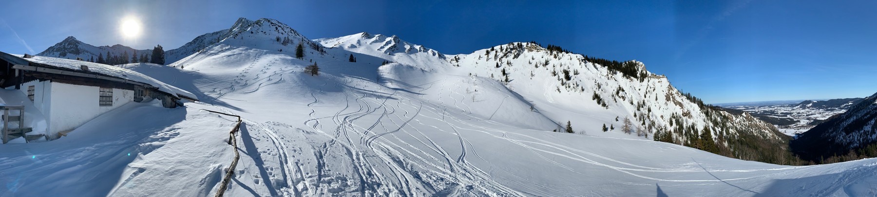
01 / Ski touring
Which route starts by the lake, which at the head of the valley? Where does the woodland end and open terrain begin? Compare approaches and mountain slopes within one valley.
Ski touring 14 routes
From Melag, Kappl and Kapron to stepped slopes and cirques, with separate hut and glacier objectives at the valley head.
Ski touring 10 routes
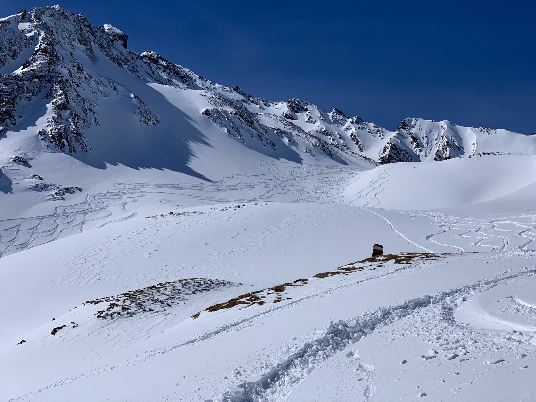
East of Matrei, woodland and pastures lead to the ridges of the Tux Alps.
Ski touring 11 routes
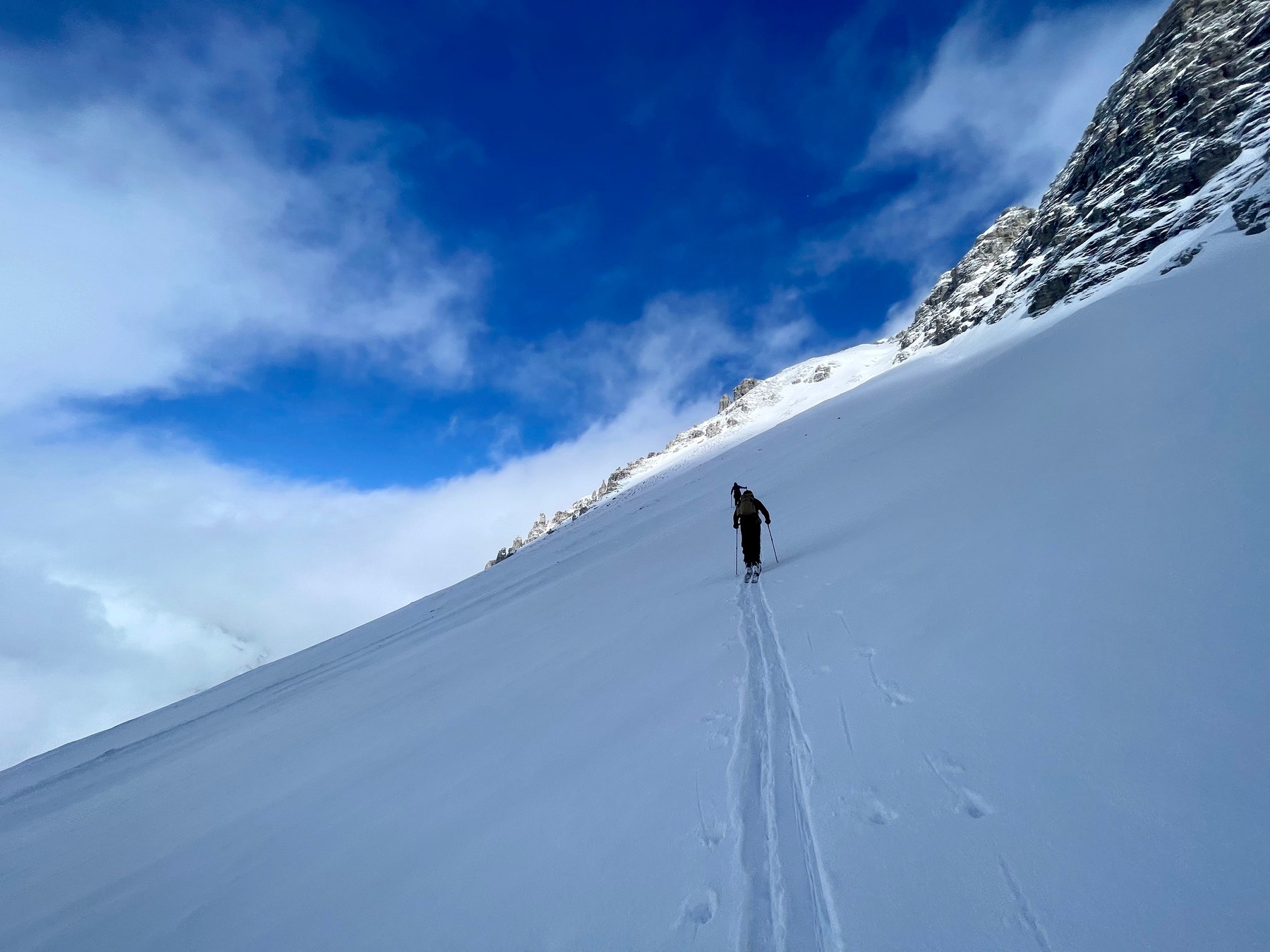
Gleirschtal, Haggen and Praxmar/Moos: long valley approaches, steep constrictions and alpine summit finishes.
Ski touring 09 routes
Around Waldesruh, Kastnerbergalm and Vinaders: lake approaches, pasture slopes and distinct summit finishes.
Also included · Bavarian Oberland
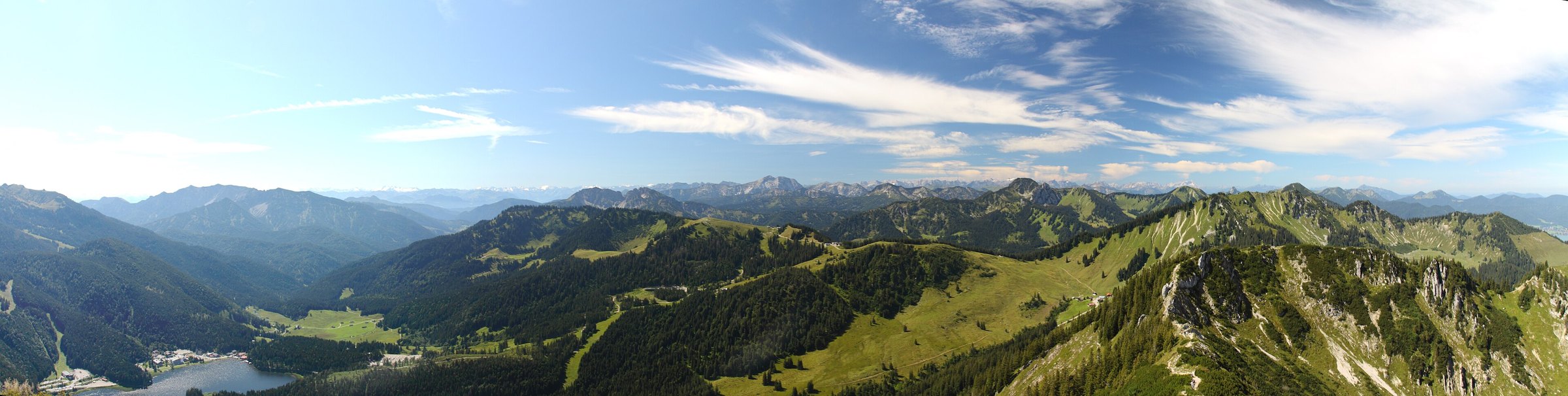
The Oberland guide brings together nearby touring areas, from wooded approaches near Tegernsee to open slopes above Spitzingsee.
Ski touring 20 routes
Woodland approaches, alpine pastures and multi-ascent circuits around Spitzingsee, Kreuth and Sudelfeld.
02 / Hiking & trailrunning
These routes are described as hikes. Where you can run depends on the path, conditions and your experience. The supplied times are not running times.
Hiking & trailrunning 08 routes
Woodland above Tegernsee and Schliersee, alpine pastures and higher mountain outings around Setzberg and Risserkogel.
All routes
Search beyond these guides on the route map, by area or route name.
Photographs are archival, not current conditions. The guides are editorial selections, not exhaustive regional inventories or declarations of safety. Route data and images retain their individual sources and rights.