North of Melag · Kappl, Kapron & Geschwell · Southern valley side · Hut destination & ski mountaineering
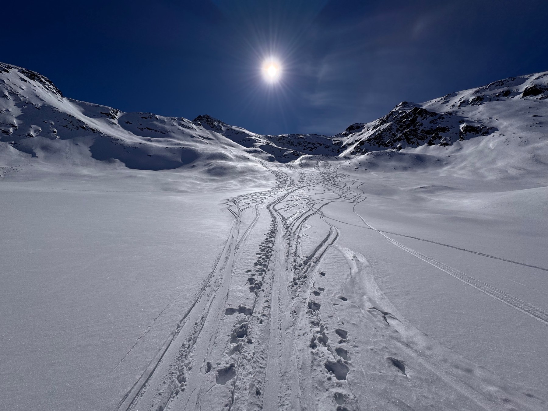
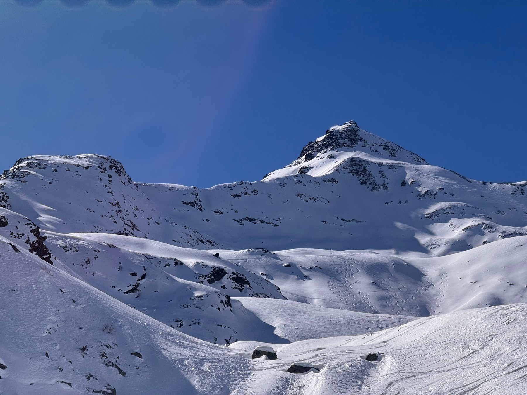
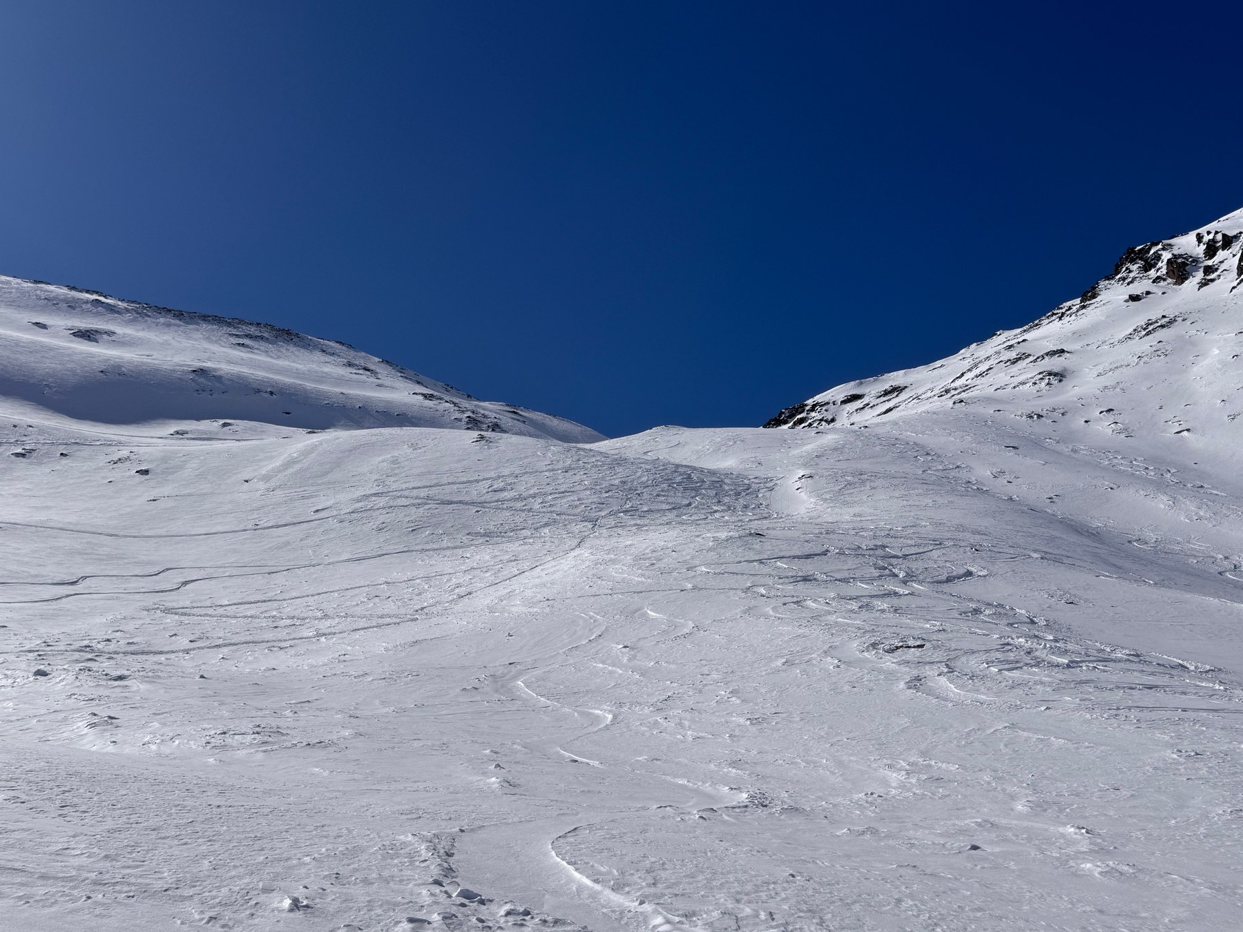
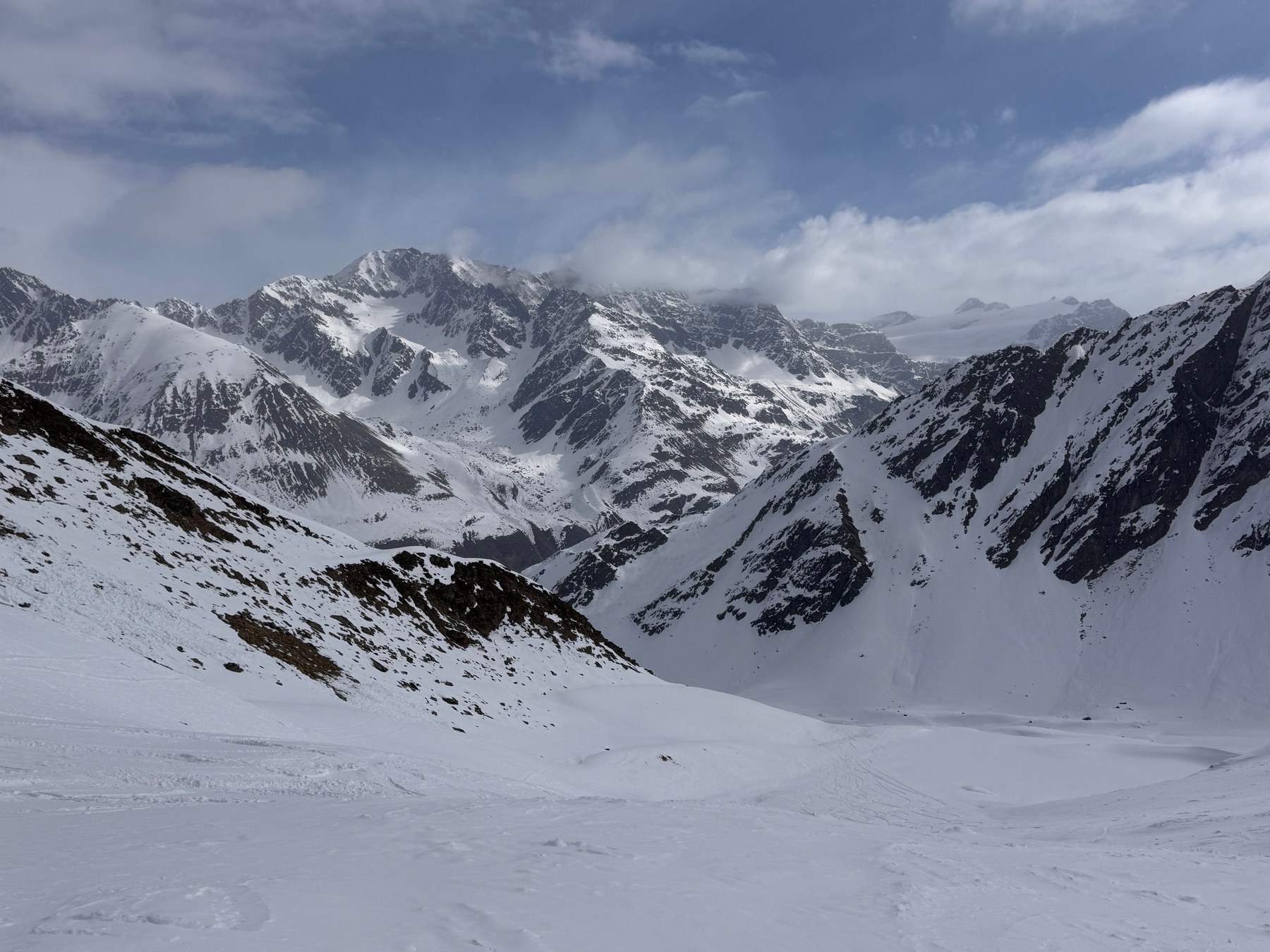
Ski touring in Vallelunga.
Vallelunga stretches east from Lake Resia into the Ötztal Alps. Beyond the farms of Kappl and Kapron, three-thousand-metre peaks draw closer until the glaciated Weißkamm mountains fill the skyline above Melag. Pasture basins, high bowls and summit ridges lie between them. Glockhauser and Mittereck offer a different kind of day from the long glacier ascents to Weißkugel and Langtauferer Spitze.
Choose an area to frame the map, or select a route name to highlight its line.
HANG LAGE / LANGTAUFERER TAL
Loading the topographic map.
Routes and GPX downloads are available below.
↑ NColours show grade along the line, not difficulty or safety.
OpenStreetMap / Protomaps · Copernicus DEM · Routes retain individual sources and licences. Data sources & safety ↗
Terrain & approaches
How the areas differ
01 / NORTH OF MELAG
North of Melag
North of Melag, the ascents branch above the Melager Bach. Stepped slopes lead towards Glockhauser through Schönkar and along a ridge to the summit crest. Weißseejoch instead combines broader upper-valley sections and bowls with short, steeper transitions. The two routes share a village start but finish in different terrain: a summit and a high mountain col.
The hamlets farther down the valley also open onto substantial ascents. Meadows, woodland and an old military road shape the lower approach to Großer Schafkopf, followed by bowls and Wölfelesjoch. Mittereck is reached via Ochsenbergalm. On Mitterlochspitze, Maseben lies between the woodland approach and a north-facing bowl that rises towards a notch and upper ridge.
On the southern side, the mountains rise above woodland and the open ground around Maseben. The Melag approach to Falbanairspitze enters the broad basin between the summit and Roter Kopf before narrowing along the upper east ridge. Tiergartenspitze has its own ascent around Maseben. The valley approach, upper bowl and summit finish give each route a distinct character.
Weißkugel, Weißseespitze and Langtauferer Spitze rise above the valley head. These are ski-mountaineering outings shaped by long approaches, glaciated terrain and distinct summit finishes. Weißkugelhütte lies below them as a destination in its own right. Glacier skills, suitable equipment and an up-to-date assessment of access are part of planning for the high summits.
The ascent follows the Melager Bach towards Schönkar. A broad bowl gives way to stepped slopes, a shoulder and the summit crest, which is markedly narrower than the terrain below.
From the Melager Bach, the route enters the high valleys north of the village. Broader ground and bowls alternate with short, steep transitions towards Weißseejoch. The col is the destination; continuing to a summit is a separate undertaking.
The ascent starts in Melag and heads for Hennesiglspitze. The source identifies a ski depot for the summit finish. Nauderer Hennesiglspitze from Kappl is a different destination, so take care not to confuse the two when planning.
Meadows, woodland and an old military road lead up from Geschwell. Higher bowls and Wölfelesjoch shape the ascent before the final summit ridge narrows.
The pasture road to Ochsenbergalm forms the lower approach. Higher up, a flatter valley floor gives way to a constriction, open bowls and the summit slope of Mittereck.
Woodland and the former piste lead from the valley to Maseben. The north-facing bowl of Mitterlochspitze lies above. An upper ridge follows the notch; the AVS describes a section on foot here.
Beyond Melag, the ascent passes through woodland into the broad basin between Falbanairspitze and Roter Kopf. Higher up it follows the narrower east ridge. The approach via Maseben is a separate variant.
This route starts down in Melag. The woodland approach towards Maseben is therefore part of the ascent to Tiergartenspitze; starting at the Maseben hut would make for a substantially different day.
Weißkugelhütte is the destination of this ascent through the upper valley. The high glacier summits above it are separate outings. Check directly before relying on winter meals or accommodation: the ÖAV directory lists no winter room.
A long ascent from Melag enters the glaciated terrain of Weißkugel. The valley approach is as much a part of the outing as the upper mountaineering section. The source identifies a ski depot for the final summit section.
Weißseespitze is one of the glacier summits above the valley head. The ascent from Melag is a ski-mountaineering route requiring its own assessment of glacier access. Despite the similar name, it is not Weißseejoch north of the village.
Langtauferer Spitze combines a start in Melag with a long ascent into the high mountains. Glacier and summit sections require mountaineering planning in their own right. The Hochjochhospiz approach lies on the other side of the mountains.
Distances describe the mapped course. Additional return journeys and descents may be missing. Check snow, weather and avalanche conditions separately. The source supplies no journey times for this selection. Plan your own time requirements. ≈ marks ascent estimated from the elevation model. — means no time supplied. Different difficulty scales are not converted.
Check the original start, finish and direction. A line may show only an ascent or a connection. Plan the return journey, last connection and any lifts separately.
Check current conditions and local information. Observe closures, wildlife rules and operating hours. A mapped path establishes neither current access nor a particular surface quality.
This overview is for orientation, not navigation or a declaration of safety. Independent planning, appropriate equipment and on-site assessment remain essential.
HANG LAGE
Route maps and recording on your phone and watch.
Download your map and route before setting off. In Hanglage, you can use them without a connection and record your outing.
Editorial research: 3 November 2026. Original selection and text by Hanglage, not a statistical ranking or current conditions assessment. Route facts, original classifications and GPX retain their linked sources and licences.
 Hanglage