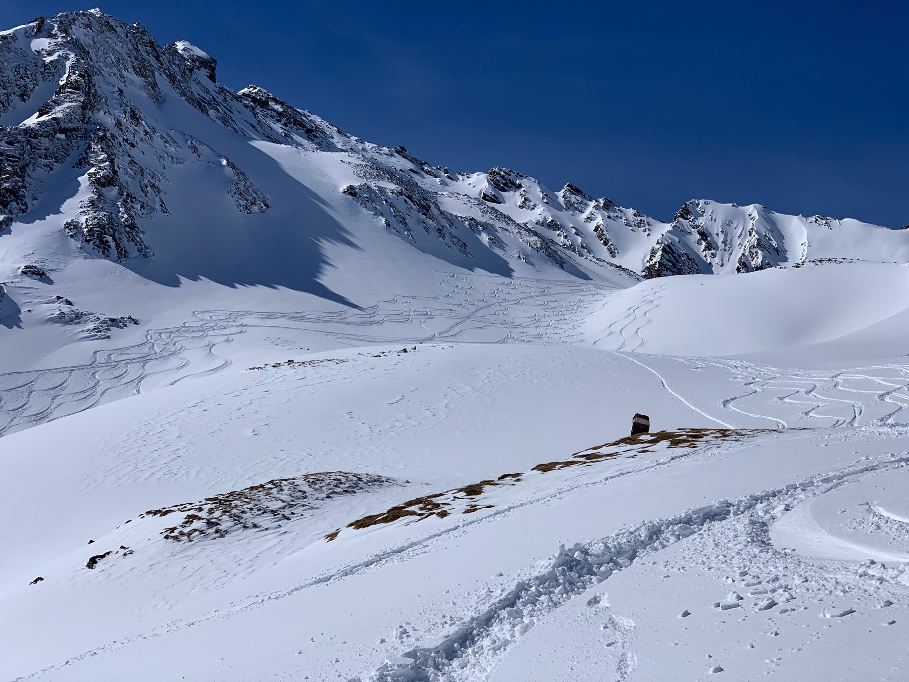
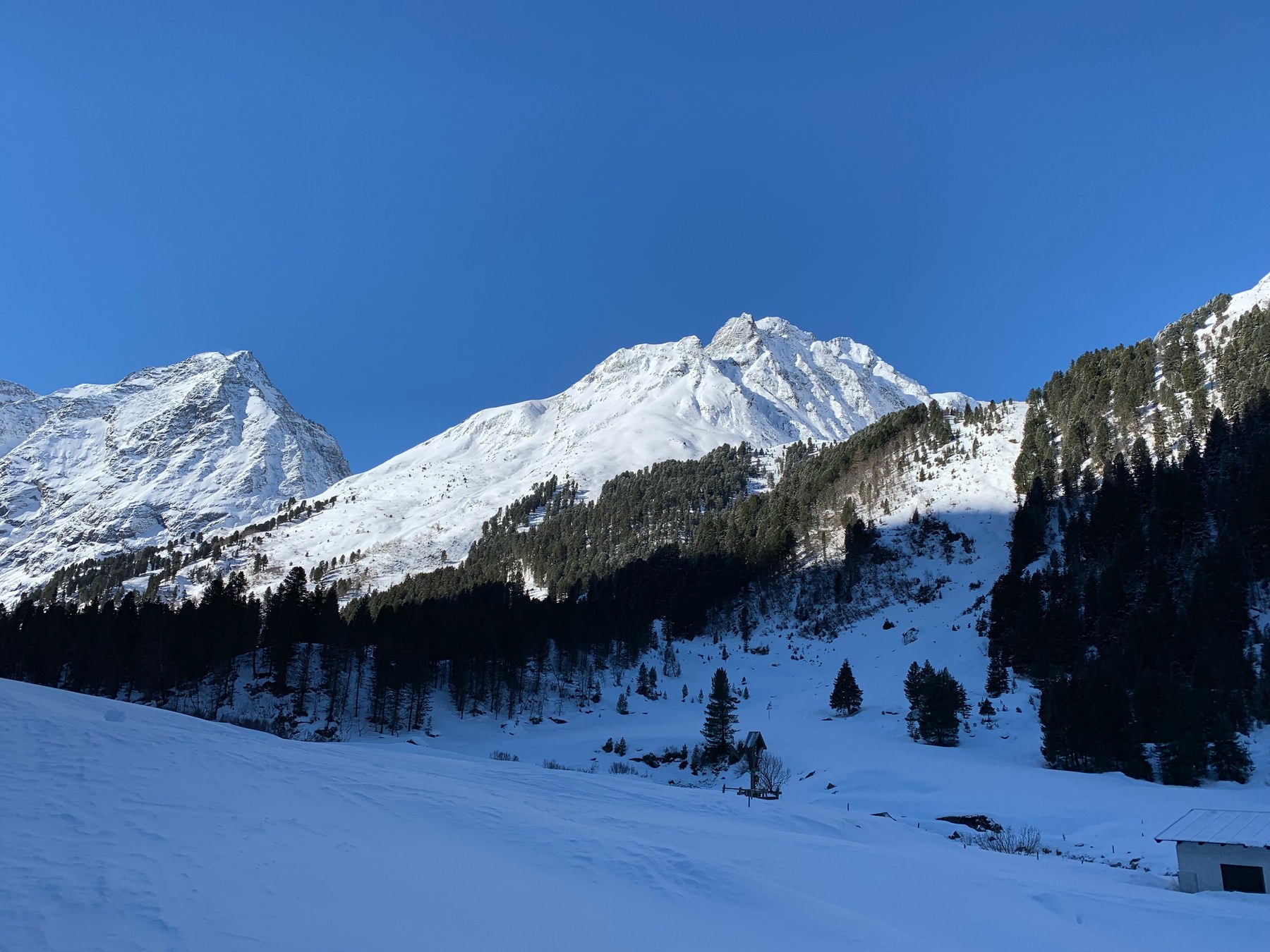
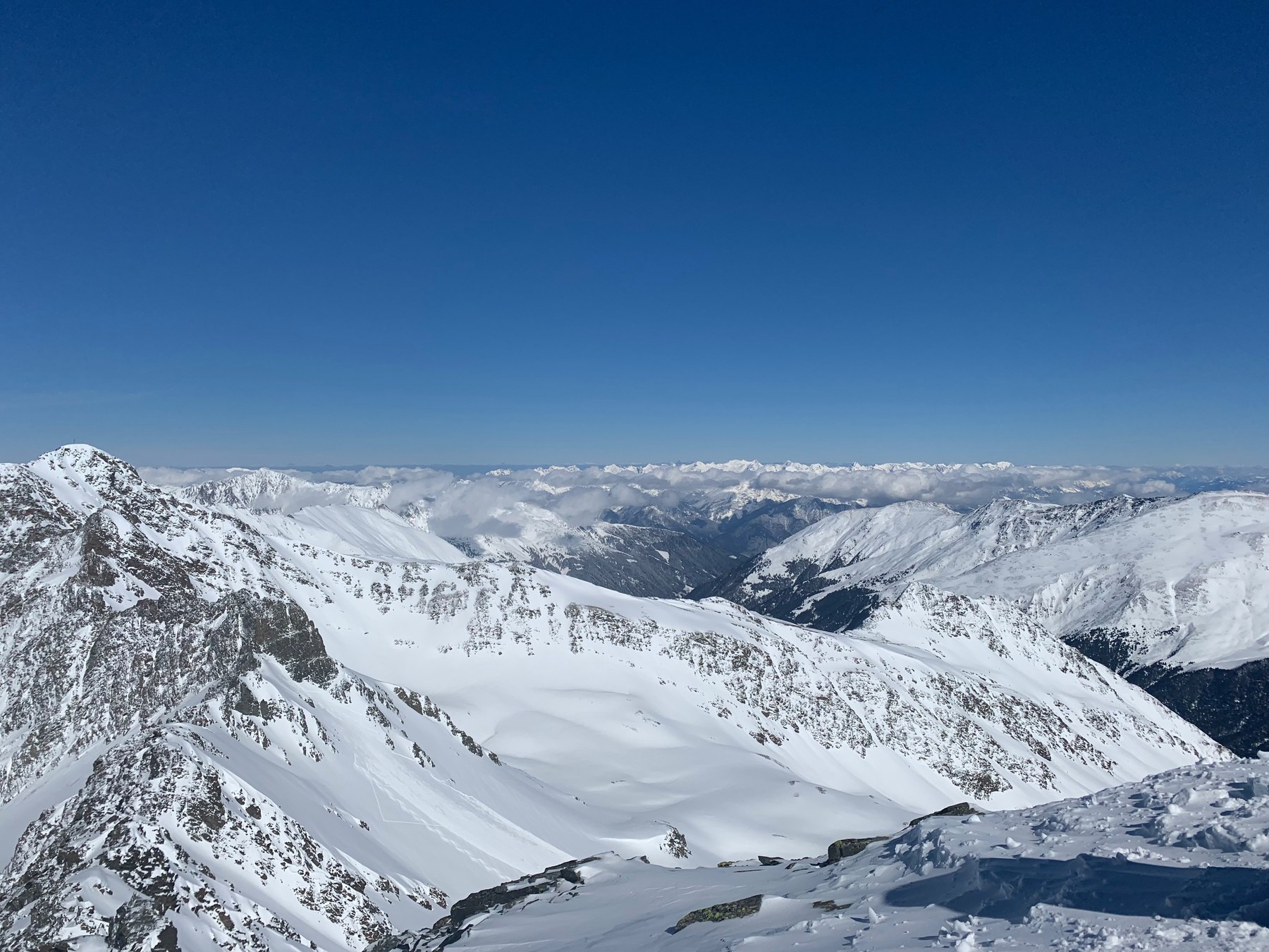
South of the road to Kühtai, Gleirschtal, Kraspestal and Lüsenstal reach into the Stubai Alps. Each approach has a different character: a long valley beside the Gleirschbach, steep constrictions above Haggen, and open slopes above Praxmar. Destinations range from Pforzheimer Hütte to summits with rocky and glaciated sections. The upper terrain matters as much as the length of the climb.
Choose an area to frame the map, or select a route name to highlight its line.
HANG LAGE / ST. SIGMUND IM SELLRAIN
Loading the topographic map.
Routes and GPX downloads are available below.
↑ NColours show grade along the line, not difficulty or safety.
OpenStreetMap / Protomaps · Copernicus DEM · Routes retain individual sources and licences. Data sources & safety ↗
Terrain & approaches
How the areas differ
01 / GLEIRSCHTAL
Gleirschtal
The Gleirschbach accompanies the long approach from St. Sigmund. Dense woodland ends around Gleirschalm and the valley opens beyond it. A steeper step leads towards Pforzheimer Hütte. Samerschlag lies in the open terrain above the hut; Haidenspitze branches into Rotgrube, where a very steep summit slope provides a markedly different finish from the hut approach.
Open woodland leads from Haggen into Kraspestal. The ascent to Zwieselbacher Rosskogel passes the two Zwingen, steep constrictions on the way to Kraspesferner. Schöllekogel and Nördliche Steintalspitze lie in neighbouring Steintal, where steeper steps and rocky summit finishes shape the upper section. The valley approaches are only the beginning of increasingly alpine terrain.
Above Praxmar, woodland and the sledging track give way to the open slopes of Lampsenspitze. Neighbouring Zischgeles has a steeper upper slope, with boulders between the ski depot and summit. The routes from Moos begin farther down Lüsenstal and pass Aflinger Alm towards Sömen and Roter Kogel, combining open slopes, steeper summit sections and distinct valley approaches.
The Gleirschbach accompanies the long valley approach to Pforzheimer Hütte. A steeper final section leads to the hut, which is the destination here; the surrounding summits are separate outings.
Start: Parkplatz Gleirschalm (gebührenpflichtig), St. Sigmund 40, 6184 St.Sigmund/Sellrain
Finish: Pforzheimer Hütte, St. Sigmund 19, 6184 St.Sigmund/Sellrain
The ascent branches from the Pforzheimer Hütte approach into Rotgrube. Above a rock band lies Haidenspitze’s very steep summit slope, which defines the alpine character of the outing.
The ascent through Kraspestal climbs the two steep Zwingen towards Kraspesferner. Constrictions and glacier terrain are defining sections on the way to Zwieselbacher Rosskogel.
The ascent starts in open woodland near Haggen and follows the stream into Kraspestal. Weitkarspitze involves a long approach; the mapped line alone measures around seven kilometres.
A steep step leads into Steintal. Above the ski depot, a bouldery summit ridge requires scrambling. The skis stay behind for the final section to Schöllekogel.
From Praxmar, the route initially follows woodland or the sledging track to the tree line. Lampsenspitze’s broad slopes open above. The ski-touring educational trail introduces equipment, avalanche awareness and planning along the way.
Start: Alpengasthof Praxmar, Österreich, 6184 St. Sigmund im Sellrain
Finish: Lampsenspitze, Österreich, St. Sigmund im Sellrain
Ridges and bowls lead towards Zischgeles’s steep upper slope. The ski ascent ends at a depot, followed by bouldery rocks to the summit. This finish distinguishes it from neighbouring Lampsenspitze.
The ascent to Roter Kogel gains height via Aflinger Alm and the pasture ground of Sömen. Steeper sections interrupt the open terrain. Crossing into Fotschertal leads to the other side of the mountains and requires separate return planning.
Start: Parkplatz Praxmar - Moos (gebührenpflichtig), Österreich, 6184 St. Sigmund im Sellrain
The approach from Moos passes Aflinger Alm towards Sömen, with steeper sections along the way. It starts in Lüsenstal; the route from the Juifenalm car park near Juifenau is a different variant.
Start: Parkplatz Praxmar - Moos (gebührenpflichtig), Österreich, 6184 St. Sigmund im Sellrain
Distances describe the mapped course. Additional return journeys and descents may be missing. Check snow, weather and avalanche conditions separately. ≈ marks ascent estimated from the elevation model. — means no time supplied. Different difficulty scales are not converted.
Check the original start, finish and direction. A line may show only an ascent or a connection. Plan the return journey, last connection and any lifts separately.
Check current conditions and local information. Observe closures, wildlife rules and operating hours. A mapped path establishes neither current access nor a particular surface quality.
This overview is for orientation, not navigation or a declaration of safety. Independent planning, appropriate equipment and on-site assessment remain essential.
HANG LAGE
Route maps and recording on your phone and watch.
Download your map and route before setting off. In Hanglage, you can use them without a connection and record your outing.
Editorial research: 3 November 2026. Original selection and text by Hanglage, not a statistical ranking or current conditions assessment. Route facts, original classifications and GPX retain their linked sources and licences.
 Hanglage