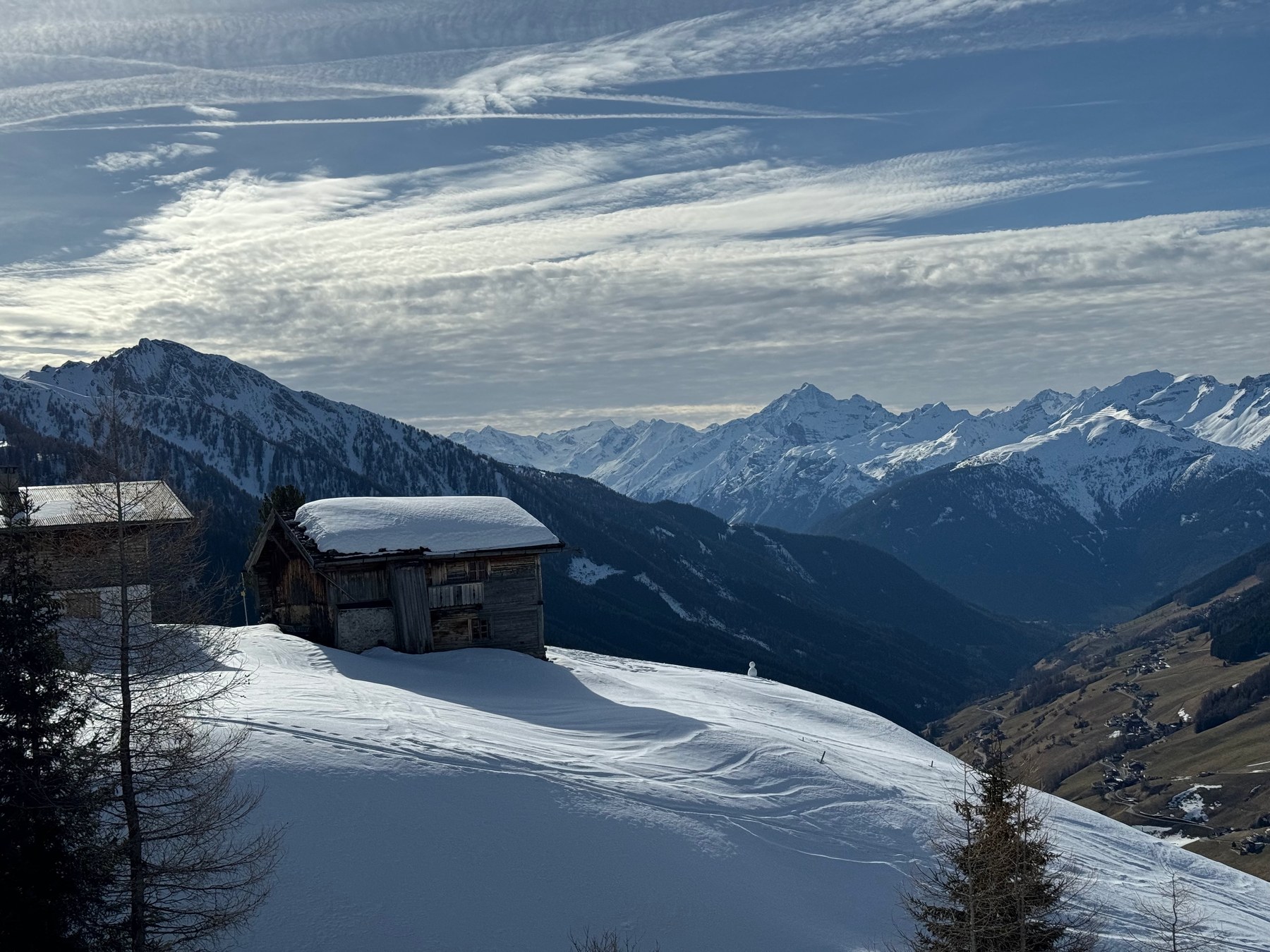
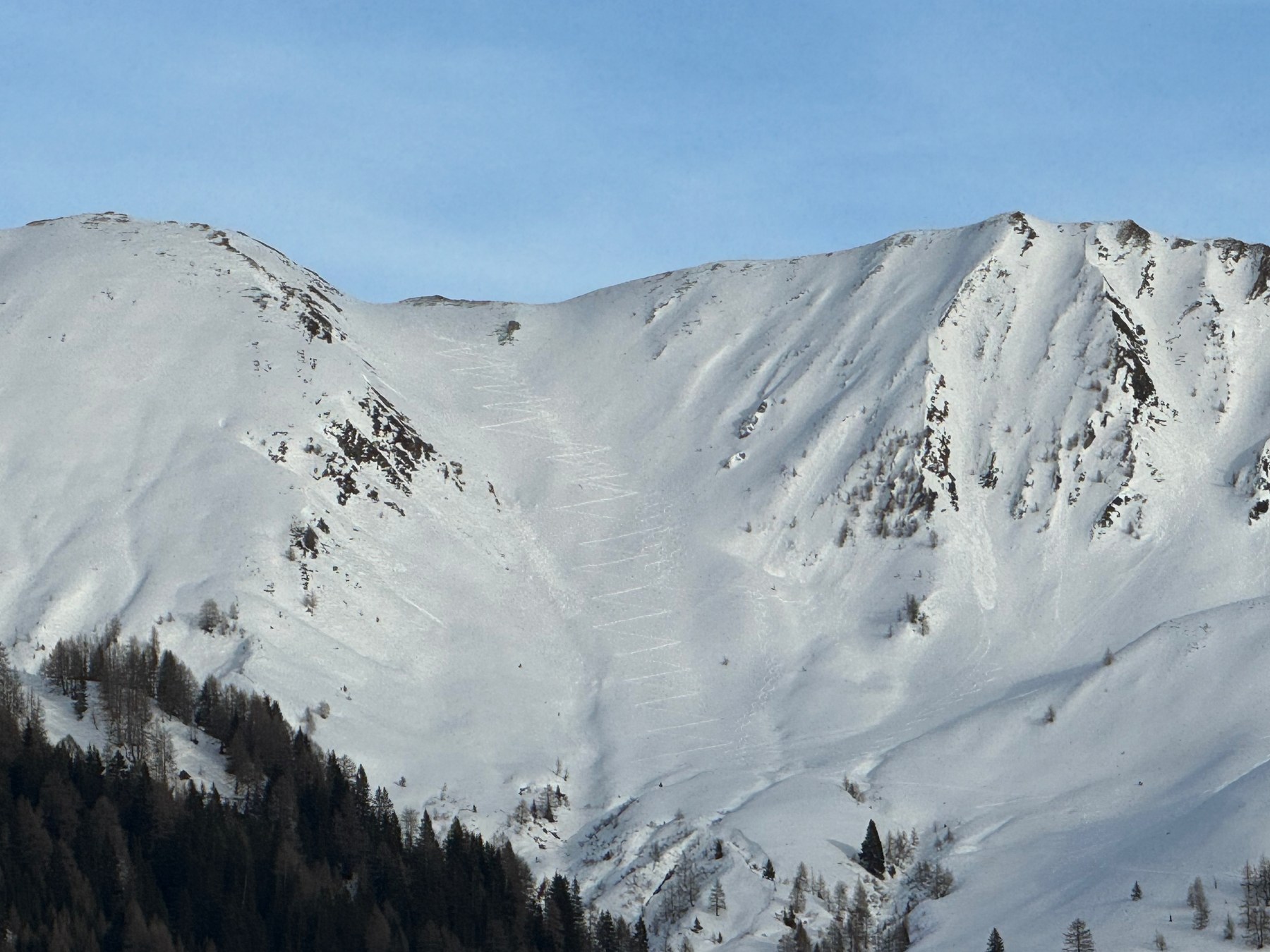
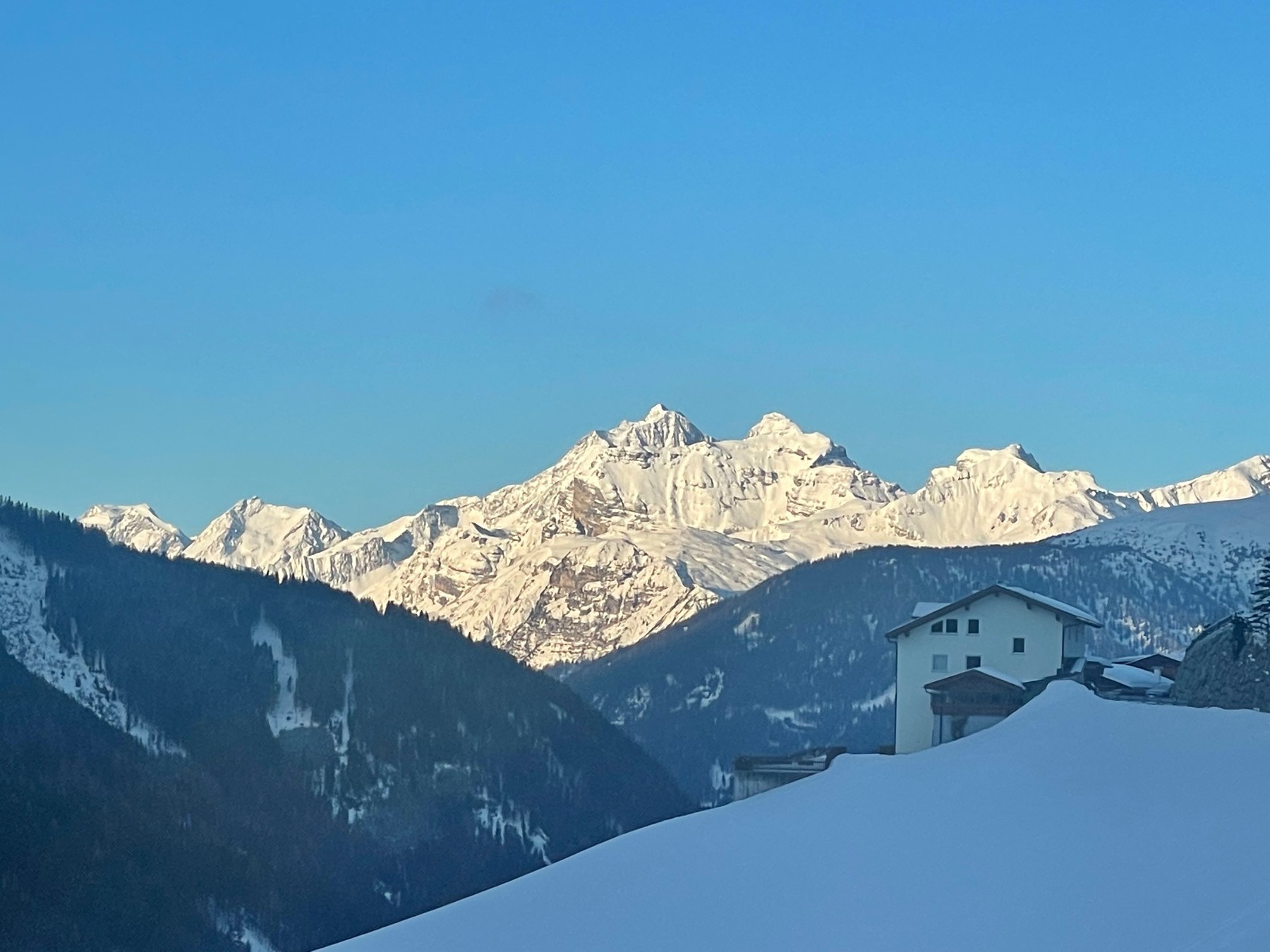
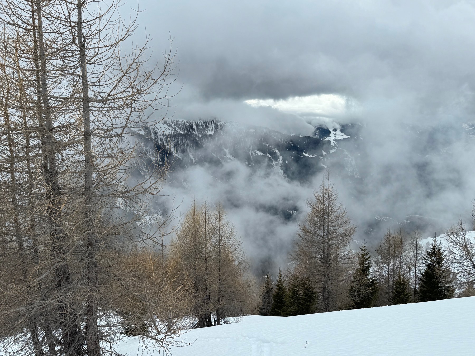
East of Matrei, the Navis Valley reaches into the Tux Alps. Farms occupy its sunny slopes, while woodland on the opposite side extends down to the stream. Beyond the village, the valleys branch: Grün and Peeralm lead towards open pastures, while Schranzberg and Weirichtal give access to long ridges and narrower summit crests. Woodland approaches, alpine pastures and upper slopes combine differently on each route.
Choose an area to frame the map, or select a route name to highlight its line.
HANG LAGE / NAVISTAL
Loading the topographic map.
Routes and GPX downloads are available below.
↑ NColours show grade along the line, not difficulty or safety.
OpenStreetMap / Protomaps · Copernicus DEM · Routes retain individual sources and licences. Data sources & safety ↗
Terrain & approaches
How the areas differ
01 / MISLBERG & PFONER KREUZJÖCHL
Mislberg & Pfoner Kreuzjöchl
On Pfoner Kreuzjöchl, woodland gradually thins into scattered trees and open ground. A plateau lies between Seapnalm and Sonnseitenberg, followed by rolling slopes and short, steeper transitions. Mislkopf opens onto another part of this area. The ascent shown here starts at Eppsteiner, while the Mislböden variant begins at Grün.
Peeralm, Zehentneralm and Grafmartalm punctuate the ascent beyond Grün. Above the pastures, slopes rise towards Naviser Jöchl, with Grafmartspitze reached along its southeast ridge. Grünbergspitze and Naviser Sonnenspitze also overlook this valley. Their upper ascents differ markedly from the broad lower ground, with steeper transitions and crest terrain near the finish.
From Schranzberg, the woodland opens at Stöcklalm. Broad ridges lead towards Naviser Kreuzjöchl before its upper crest narrows. In neighbouring Weirichtal, the long forest road to Blasigleralm forms part of the approach. Open slopes and saddles replace the valley floor higher up; Scheibenspitze finishes with a steep ascent towards its summit ridge.
This ascent of Mislkopf starts at Eppsteiner in the Navis Valley. It approaches the summit from a different trailhead to the longer Mislböden variant from Grün.
Above the woodland approach, the terrain opens out. A plateau between Seapnalm and Sonnseitenberg gives way to rolling slopes and short, steeper transitions. The destination is Pfoner Kreuzjöchl, not similarly named Naviser Kreuzjöchl.
Start: Parkplatz Grün, Österreich, 6145 Navis
Finish: Gipfel Pfoner Kreuzjöchl, Österreich, Navis
Woodland gives way to open ground, a basin and higher ridges. Above the saddle, a further ascent leads to Grünbergspitze itself. The source lists 1,310 metres of ascent, making this a substantial climb.
Start: Parkplatz Grün, Österreich, 6145 Navis
Finish: Grünbergspitz/Parkplatz Grün, Österreich, Matrei am Brenner
The ascent gains height past Peeralm, Zehentneralm and Grafmartalm. Steeper transitions above the pastures lead to Naviser Jöchl. Grafmartspitze’s southeast ridge forms the final section.
The approach passes Peeralm and Zehentneralm into the upper valley. The final approach to the crest is steep; an ÖAV report from February 2026 describes a section on foot. Current conditions need a fresh assessment.
Woodland and forest roads lead from Schranzberg to Stöcklalm. The terrain opens into broad ridges above, narrowing only along the upper crest of Naviser Kreuzjöchl.
Start: Haltestelle Navis-Dorf/Parkplatz Schranzberg, Österreich, 6145 Navis
Finish: Gipfel Naviser Kreuzjöchl, Österreich, Navis
The Weirichtal approach passes Blasigleralm towards Möslalm. Above the valley approach, an open slope rises to a saddle. The destination is Hohe Warte’s ski summit, not the higher points on the neighbouring crest.
A long forest road leads through Weirichtal to Blasigleralm. The character changes higher up: Scheibenspitze finishes with a steep ascent towards the summit ridge.
Distances describe the mapped course. Additional return journeys and descents may be missing. Check snow, weather and avalanche conditions separately. ≈ marks ascent estimated from the elevation model. — means no time supplied. Different difficulty scales are not converted.
Check the original start, finish and direction. A line may show only an ascent or a connection. Plan the return journey, last connection and any lifts separately.
Check current conditions and local information. Observe closures, wildlife rules and operating hours. A mapped path establishes neither current access nor a particular surface quality.
This overview is for orientation, not navigation or a declaration of safety. Independent planning, appropriate equipment and on-site assessment remain essential.
HANG LAGE
Route maps and recording on your phone and watch.
Download your map and route before setting off. In Hanglage, you can use them without a connection and record your outing.
Editorial research: 3 November 2026. Original selection and text by Hanglage, not a statistical ranking or current conditions assessment. Route facts, original classifications and GPX retain their linked sources and licences.
 Hanglage